Poly Fields Has Been Withdrawn!
On October 8, 2024, Polytechnic School in Pasadena announced they are withdrawing their land use application for a sports complex on the Chaney Trail site.
Read AltadenaWILD’s statement on the withdrawal.
Read external news stories about these recent events.
Our concerns remain the same regarding any potential development on the site.
Proposed Development Site
Property in northern Altadena previously sought by Polytechnic School. The green line denotes the border with San Gabriel Mountains National Monument—photo courtesy of L.A. County GIS-NET Public; annotations by AltadenaWILD.
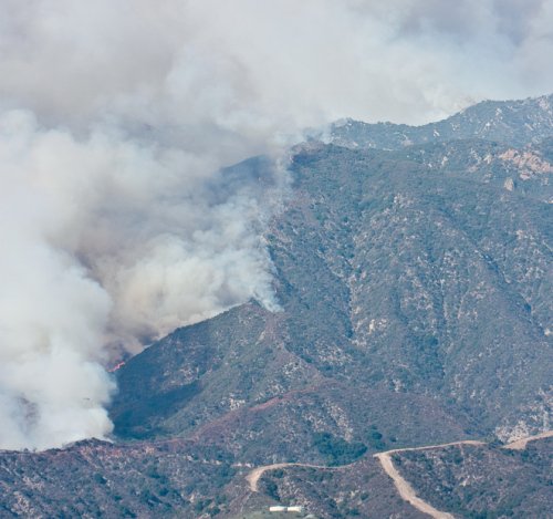
Development site is in a State-designated Very High Fire Hazard Severity Zone
The property borders the San Gabriel Mountains National Monument
80% of the property is within the Altadena Foothills and Arroyos Significant Ecological Area
70% of the property falls within County-designated Hillside Management Areas
The property contains five County-designated Significant Ridgelines
The property contains seasonal streams that drain into Arroyo Seco
The property is home to flora and fauna rich in biodiversity
The property is part of vital wildlife migration corridors
The Issues
-
Any potential development will likely increase the density of people and intensity of activity in a very high-risk fire zone. The entire development site is part of a State-designated Very High Fire Hazard Severity Zone (VHFHSZ). Numerous wildfires have occurred recently in the surrounding areas, including the devastating 2009 Station fire. The current Chaney Trail nursery employs only a handful of people, and the number of on-site customers is typically in single digits.
-
Foothills residents and visiting recreationists live with fire threats year-round and are accustomed to practicing safe outdoor behaviors. Any potential development could draw more people from an urbanized environment, where the imminent threat of brushfires and wildfires is minimal.
-
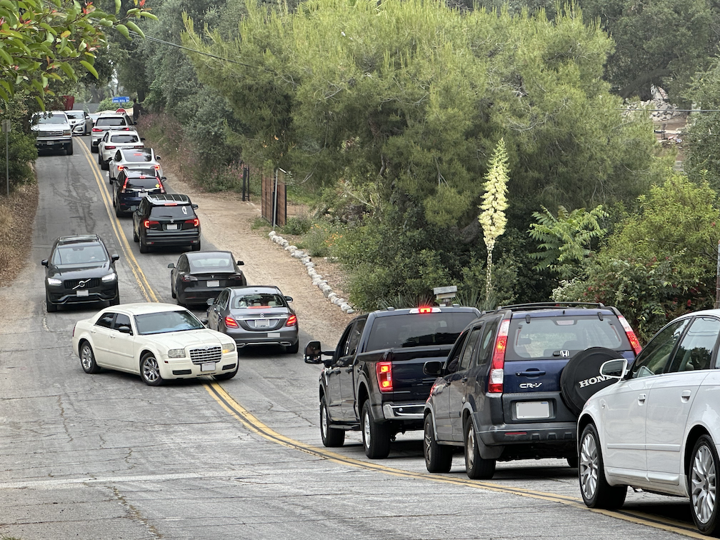
Any potential development could lead to increased traffic on Chaney Trail, Loma Alta Drive, and on the major north-south routes from Pasadena to northern Altadena. The narrow and hilly roads will struggle to handle increased traffic volume. This will not only affect these specific roads, but also create traffic impacts on the connecting east-west Loma Alta Drive and major north-south streets in Altadena, as well as connecting east-west streets (such as Altadena Drive). In northern Altadena, these roads are two-lane only, with numerous stop signs.
-
Any potential development could increase the risk of accidents involving vehicles, hikers, cyclists, and equestrian riders on Chaney Trail and Loma Alta Drive. Chaney Trail is a narrow and hilly road, with blind spots, between Loma Alta Drive and the Millard Campground trailheads to the National Forest.
-
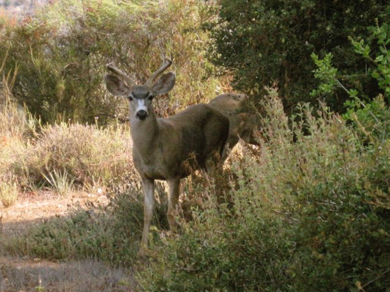
Any potential development in the Chaney Trail corridor significantly affect the surrounding environments and native wildlife and their migration routes. The impacts are magnified by the fact that the development site is adjacent to a Significant Ecological Area and the Angeles National Forest/San Gabriel Mountains National Monument, a rural outdoor lighting zone, and a watershed that includes seasonal streams flowing to the Arroyo Seco. A variety of owls, hawks, quail, bobcats, deer, gray foxes, and black bears are among the wildlife that could be disturbed in these chaparral wildlands.
-
Any potential development may generate significant noise and light pollution for the surrounding areas, including the neighborhoods, foothills, and the Angeles National Forest/San Gabriel Mountains National Monument. The construction phase will create extensive noise pollution, and any permanent facilities could impact the environment. Night illumination would significantly increase light pollution beyond levels associated with the current nursery.


Take Action
There are things you can do to help!

